
Environment / Geospatial / Demography
Global Building Footprints
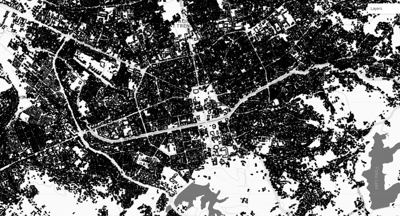
A comprehensive dataset of rough machine-learning derived outlines of all buildings in the world in 2021. A geospatially derived global building footprints map is a type of spatial dataset that represents the location and extent of buildings, such as houses, apartments, and other structures, across the globe. This dataset is typically created using geographic information systems (GIS) technology, and is based on data obtained from satellite imagery. The global building footprints map can provide valuable information for a wide range of purposes, such as for understanding the patterns and dynamics of urbanization, for studying the impacts of buildings on the environment and local communities, or for supporting the planning and management of land resources.
Metadata
Number
57
Availability
Available Soon
Original Source
Microsoft / Maxar / Airbus
Resolution
1m
Cadence
Solo
Delivery Time
Hours
Price
€100
Coverage
Global
Data Range
1/1/2014 - 1/1/2021
Created
8/3/2022 22:08
EECU Seconds
-