
Environment / Geospatial / Computed
Hillshade Topography
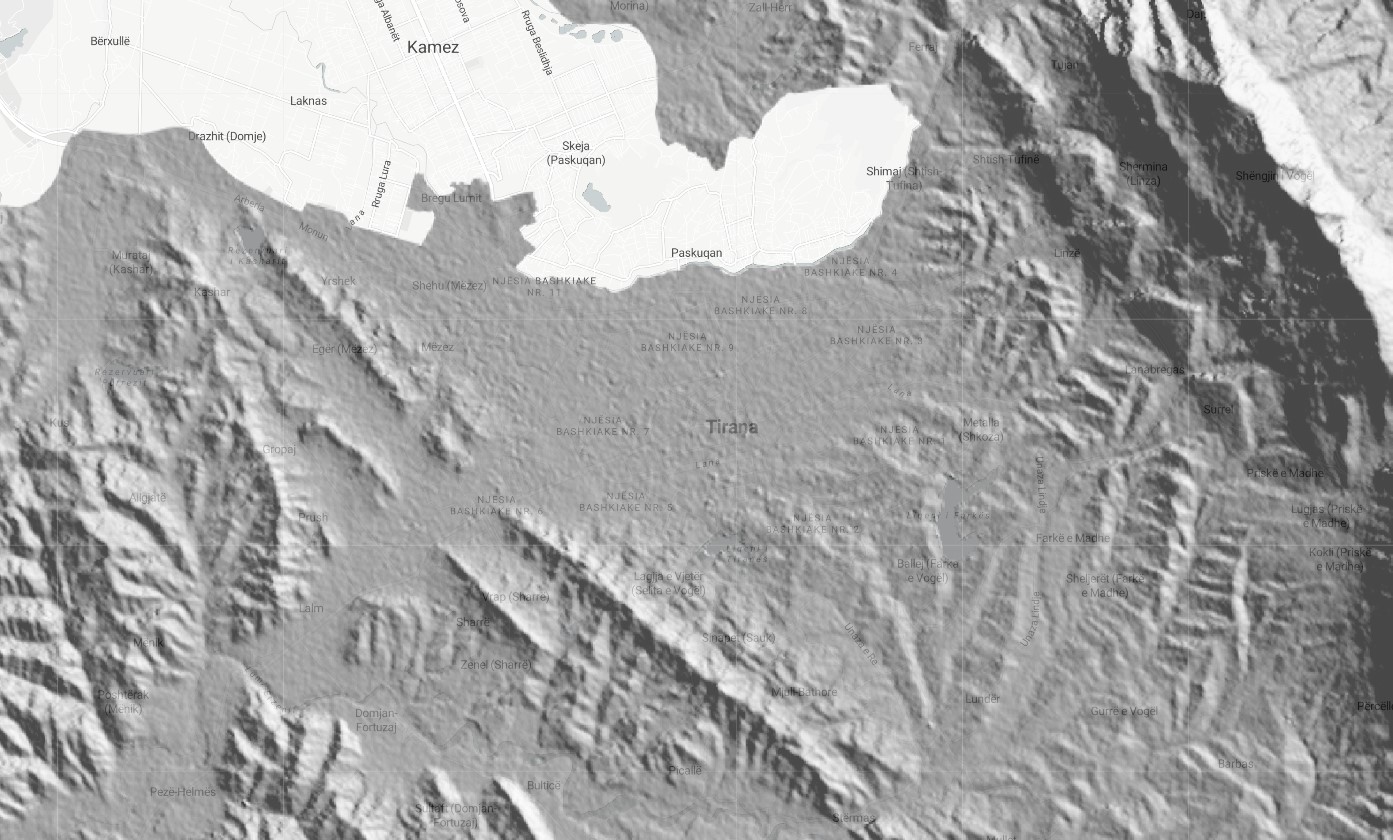
Satellite-derived hillshade visualization of geographical features. Geospatially derived hillshade is a type of map or spatial dataset that is created using geographic information systems (GIS) technology to represent the three-dimensional relief of a terrain. Hillshades are typically generated by applying shading algorithms to a digital elevation model (DEM) of the terrain, which allows for the creation of realistic, three-dimensional visualizations of the land surface. These visualizations can be useful for a variety of purposes, such as for analyzing the topography of an area, for visualizing the distribution of natural or man-made features on the landscape, or for creating attractive maps for publication or presentation.
Metadata
Number
34
Availability
Available Now
Original Source
NASA /USGS / JPL-CALTECH
Resolution
30m
Cadence
Solo
Delivery Time
Hours
Price
€100
Coverage
Global
Data Range
2/11/2000 - 2/22/2000
Created
7/30/2022 15:50
EECU Seconds
28