
Computed / Demography
Population Density
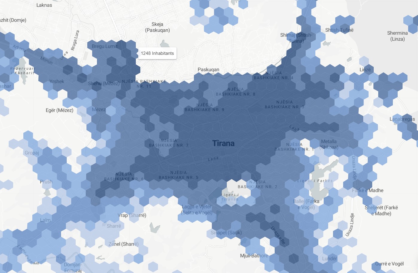
Worldpop crowdsourced & machine-learning derived population count estimations. Geospatially derived population counts spatial data analysis is a type of spatial analysis that is used to evaluate the distribution of population within a given area using geographic information systems technology. In this analysis, population counts obtained from satellite data are mapped to show the location and density of population within an area. This type of analysis can be used to identify areas of high or low population density, and to understand the factors that contribute to these patterns. The results of geospatially derived population counts spatial data analysis can be used to support planning and decision making, and to identify areas that may require additional resources or support to meet the needs of the population.
Metadata
Number
7
Availability
Available Now
Original Source
Worldpop
Resolution
100m
Cadence
Solo
Delivery Time
Days
Price
€200
Coverage
Global
Data Range
1/1/2020 - 12/31/2020
Created
7/30/2022 13:32
EECU Seconds
-